Masters of the Ocean
When Bartholomew Roberts needed to intercept a Portuguese treasure fleet carrying 40,000 gold moidores in early January 1722 off Bahia, Brazil, he couldn't simply sail toward Brazil and hope for the best. Discover how pirates really navigated the seven seas with mathematical precision that would impress modern maritime academies.
The Science Behind the Swagger
Popular culture portrays pirates as reckless adventurers who stumbled across their targets through pure chance, but the reality reveals master navigators whose survival depended on scientific precision. The most successful pirate captains were often former naval officers or experienced merchant mariners who understood that accurate navigation meant the difference between wealth and death in the trackless Atlantic.
In 1695, Henry Every intercepted the Mughal treasure ship Ganj-i-Sawai off the coast of Yemen—a feat among hundreds of pilgrimage ships returning from Mecca that demanded knowing exact seasonal wind patterns, calculating drift speeds, and predicting routes with surgical accuracy.
Pirates needed navigation skills that exceeded those of most legitimate sailors. While merchant captains followed established trade routes with known hazards clearly marked, pirates had to navigate to secret bases, anchorages, and constantly changing hunting grounds. They couldn't rely on official charts or port authorities for assistance.
Tools of the Trade: More Than Just a Compass
The basic navigation kit aboard a well-equipped pirate ship would have impressed contemporary naval officers. Beyond the obvious compass—itself a precision instrument requiring careful maintenance—successful pirates carried cross-staffs, backstaffs, Davis quadrants for celestial navigation, and lead lines for depth sounding that could extend 60–120 feet (10–20 fathoms) into ocean depths.
Artifacts from Queen Anne's Revenge include sounding leads, dividers, and a bronze ship's compass—evidence of serious navigational investment.
Charts were precious commodities that pirates guarded as carefully as their treasure. While official naval charts were closely controlled government secrets, pirates developed their own cartographic networks through capture, theft, and careful observation. Pirate-annotated charts, though rarely surviving, are mentioned in captured correspondence and trial testimonies with local knowledge about currents, seasonal weather patterns, and hazards that weren't marked on official versions.
Hourglasses served as crucial timekeeping devices, though their accuracy deteriorated during long voyages. Some pirate ships carried multiple hourglasses of different durations, allowing navigators to cross-check their time measurements. Accurate longitude determination was not possible at sea until mid-18th-century chronometers; pirates relied on sandglasses and dead-reckoning for east-west positions.
Reading the Ocean Like a Book
Seasoned sailors claimed they could develop an almost supernatural ability to interpret ocean conditions that escaped less experienced sailors. Some contemporary accounts suggest they learned to read wave patterns that revealed distant islands, recognize cloud formations that indicated land masses beyond the horizon, and identify bird behaviors that pointed toward water sources or safe harbors.
Samuel Bellamy's crew included former Bahama wreckers who could identify underwater obstacles by reading surface wave patterns—skills that allowed the Whydah to navigate shallow waters where pursuing naval vessels couldn't follow.
The color and movement of water provided crucial information about depth, currents, and underwater hazards. Experienced pirate navigators could distinguish between the pale green of shallow coral reefs, the deep blue of open ocean, and the murky brown of river outflows that might indicate settlements.
Celestial Navigation: Pirates as Astronomers
The most accomplished pirate navigators were essentially practical astronomers who used stellar observations to determine their position with remarkable accuracy. They learned to identify dozens of key stars and constellations, understanding how celestial movements varied with seasons and geographic locations.
The Southern Cross constellation became crucial for pirates operating in Caribbean and South American waters, with experienced navigators using multiple stellar references to triangulate positions when individual stars were obscured by clouds.
Polaris, the North Star, provided the most reliable reference point for determining latitude in northern waters. Pirates learned to measure its angle above the horizon using cross-staffs or quadrants, calculating their north-south position within tens of miles—adequate for ocean navigation. But this technique became useless in southern waters, forcing navigators to use more complex stellar observations.
Secret Charts and Knowledge
Pirates developed their own cartographic traditions that often surpassed official charts in practical accuracy. They marked their charts with information that naval mapmakers never recorded: seasonal wind patterns, water sources, defensible anchorages, and the specific tidal conditions that allowed passage through reef systems.
Henry Every's crew possessed charts of the Indian Ocean that included detailed information about Mughal shipping routes, monsoon patterns, and safe harbors that weren't available to European naval forces—intelligence that directly enabled their historic treasure capture.
These pirate charts became valuable commodities traded between crews and passed down through generations of sea rovers. They contained intelligence about colonial defenses, shipping schedules, and local political situations that made the difference between successful raids and disastrous encounters with prepared enemies.
Weather Prediction: Life or Death Forecasting
Caribbean weather patterns could transform from calm sailing to deadly hurricanes within hours, making accurate weather prediction a survival skill that pirates mastered through bitter experience. Some contemporary accounts suggest they learned to recognize the subtle atmospheric signs that preceded dangerous storms: unusual cloud formations, wind direction changes, and the behavior of sea birds that sensed approaching weather systems.
Blackbeard's remarkable ability to appear and disappear along the American coast stemmed partly from his crew's superior weather prediction skills, allowing them to time their movements with storm systems that grounded pursuing naval vessels.
Pirates also learned to use weather as a tactical weapon. They timed raids to coincide with storms that would prevent colonial authorities from organizing effective responses, positioned themselves to take advantage of seasonal wind patterns that favored quick escapes, and used their weather knowledge to force merchant ships into vulnerable positions.
Legacy of Pirate Seamanship
When the Golden Age of Piracy ended around 1730, the navigation knowledge accumulated by pirate crews didn't disappear—it evolved into the foundation of modern maritime science. The pirates' greatest navigation achievement wasn't any single voyage or raid—it was proving that small, independent crews could master the ocean through skill, intelligence, and scientific observation. In an age when most people never traveled more than a few miles from their birthplace, pirates navigated with confidence across thousands of miles of trackless ocean, using nothing more than their instruments, their knowledge, and their hard-won understanding of the sea's eternal patterns.
Navigate Your Daily Voyage
Bring the adventure of ocean mastery to everyday tasks
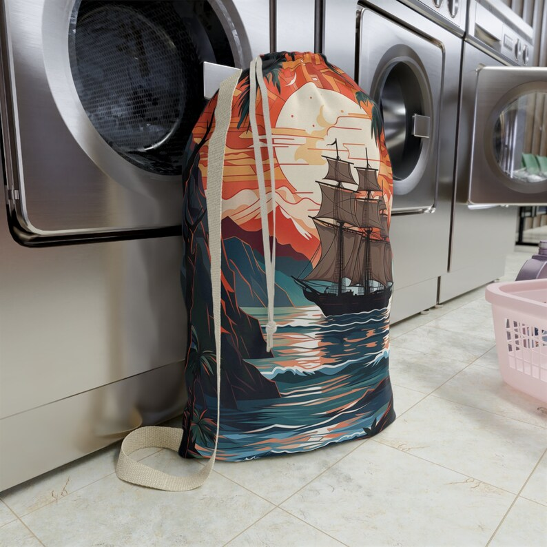
Pirate Ship Laundry Bag
Transform mundane chores into maritime adventures with this stunning laundry bag featuring a majestic pirate ship sailing through tropical waters
- • Large capacity for all your laundry needs
- • Durable, machine-washable materials
- • Drawstring closure for easy transport
- • Beautiful tropical sunset design
- • Perfect for dorms, apartments, or home use